Models & specificitiesDescriptiveReviewsA questionBesoin de formation
Models & specificities
Back to menu
Reference
Price inc VAT
Price inc VAT
010-C1272-20
£212.50
£212.50
Models & specificitiesDescriptiveReviewsA questionBesoin de formation
Descriptive
Back to menu
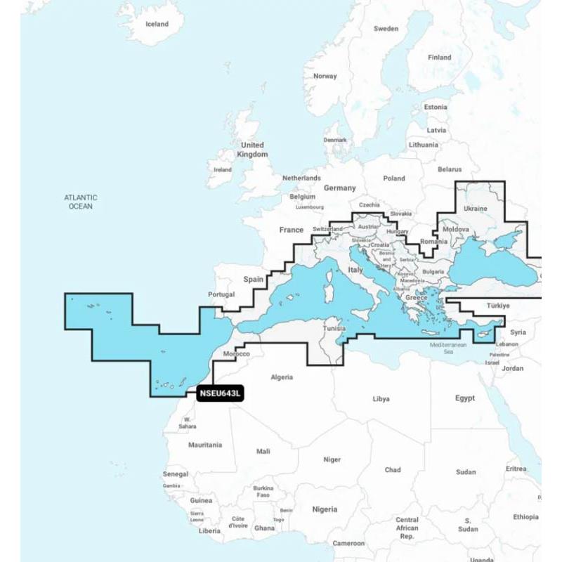
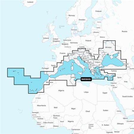
GARMIN NAVIONICS+ card for Mediterranean and Black Sea with high definition bathymetry
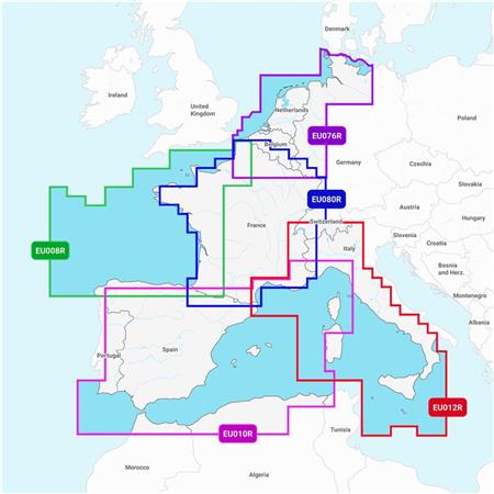
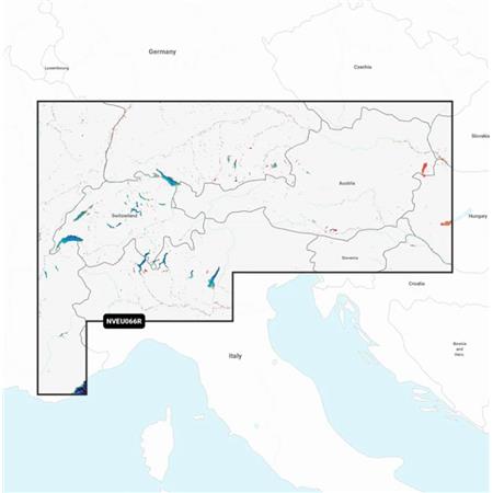
Detailed coverage of the Mediterranean and Black Sea. Coverage includes the Azores, Madeira, the Canary Islands, Gibraltar, the Balearic Islands, Corsica, Sardinia, Sicily, Malta, Crete, Cyprus, the Dardanelles, the Bosphorus, the Sea of Azov, the Dnieper up to the Kiev reservoir, the Danube up to Passau (Germany), Lake Balaton, Lake Garda, Lake Como and Lake Maggiore. Ports include Cadiz and Barcelona for Spain; Monaco; Marseille and Toulon for France; Genoa, Naples, Taranto and Venice for Italy; Istanbul for Turkey; Odessa for Ukraine; Tunis for Tunisia and Algiers for Algeria.
ALL-IN-ONE CARTOGRAPHIC SOLUTION FOR GARMIN PLOTTERS UNLIMITED MAP UPDATES AUTOGUIDING+ TECHNOLOGY DEPTH SHADING BATHYMETRIC CURVES UP TO 0.5 M SHALLOW WATER SHADING ACTIVECAPTAIN COMMUNITY Compatibility with ECHOMAP UHD 7/9, UHD² 5/7 and ULTRA10/12 series GPS Sounders
The Card is in MICRO-SD format delivered on an SD medium to be compatible with different card readers.